Sample essays
Band 5.5 IELTS essay: the 4 mistakes that capped the score
A band 5.5 essay scored 5/6/5/6, plus the exact sentence holding each criterion down and the minimum fix that clears the band 6 line.
10 min read
A full band 7 answer to a two-map IELTS Task 1 question, scored sentence by sentence against the published descriptors, plus the 3 edits that make it an 8.
Below is a complete band 7 answer to a two-map Task 1 question, followed by a sentence-by-sentence account of why it sits at 7 rather than 6 or 8. The maps, the question and the answer were all written for this article — no real exam material is reproduced — and every judgement below is made against the public Band Descriptors (Updated May 2023). IELTS has not released examiner-marked map answers at this level, so nothing here is an official band 7 sample; it is an answer scored against the published wording.
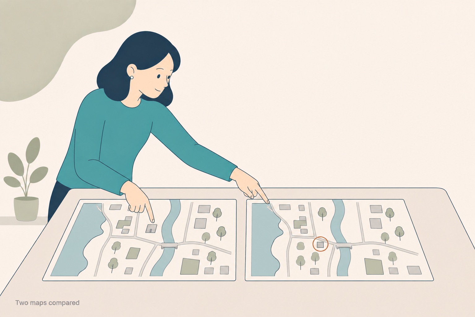
Two pictures and no grouping. On a map the categorising is entirely yours to do.
The maps below show the coastal town of Wexbury in 1985 and in 2020. Summarise the information by selecting and reporting the main features, and make comparisons where relevant. Write at least 150 words.
The two maps show the same stretch of coast, with a river running north to south through the middle of the town and the sea to the west. Rather than reproduce the drawings, here is everything the two maps differ on, so you can check the answer for omissions yourself.
| In 1985 | In 2020 | Type of change |
|---|---|---|
| Farmland across the northern half of the site | A housing estate | New construction on undeveloped land |
| Woodland in the south | Partly cleared; a golf course on the cleared land | Partial clearance plus new facility |
| A fishing pier on the west bank | A longer pier, now a marina | Expansion plus change of use |
| A cannery beside the pier | A car park | Demolition plus change of use |
| One bridge across the river, at the centre | A second bridge, south of the original | Addition |
| A single-track coastal road | A wider road, rerouted slightly inland | Expansion and relocation |
| Town hall at the centre | Unchanged | No change |
| Primary school on the east bank | Unchanged | No change |
The two maps show how the coastal town of Wexbury changed between 1985 and 2020.
Overall, the town shifted from a working fishing settlement to a largely residential and leisure one, and nearly all of the development took place on land that had previously been either open or industrial.
The most visible changes involved new construction. The farmland that occupied the northern half of the site in 1985 had been built over with a housing estate by 2020, and the woodland in the south was partly cleared to make way for a golf course. A second bridge was also added across the river, to the north of the original crossing.
Other changes were conversions rather than additions. The fishing pier on the west bank was extended and became a marina, while the cannery that stood beside it was demolished, leaving a car park in its place. The single-track coastal road was widened and rerouted slightly inland to serve the new housing. The town hall at the centre of the town was left untouched.
That answer is 173 words, against a published minimum of at least 150.
Band 7 Task Achievement reads: "The response covers the requirements of the task. The content is relevant and accurate – there may be a few omissions or lapses. It presents a clear overview, the data are appropriately categorised, and main trends or differences are identified." Note Task Achievement — Task 1 is not marked on Task Response. The phrase that decides most map answers is appropriately categorised, and the phrase that keeps this one off band 8 is a few omissions or lapses.
| Sentence | Criterion | What it does |
|---|---|---|
| "The two maps show how the coastal town of Wexbury changed between 1985 and 2020." | TA | Identifies both maps and the time frame. Neutral opening; carries no marks on its own. |
| "Overall, the town shifted from a working fishing settlement to a largely residential and leisure one…" | TA | The overview. It names a direction of change rather than listing features — the clearest band 7 move in the answer. |
| "…nearly all of the development took place on land that had previously been either open or industrial." | TA | A second comparison inside the overview, and accurate against all six changed features. |
| "The most visible changes involved new construction." | CC | Topic sentence naming a category, not a location. This is what "appropriately categorised" looks like in a map answer. |
| "The farmland that occupied the northern half… had been built over with a housing estate by 2020" | GRA | Past perfect used to fix the sequence against the 2020 map. Accurate, and not the writer's only structure. |
| "A second bridge was also added across the river, to the north of the original crossing." | TA | An accuracy lapse. The second bridge is south of the original. The feature is selected correctly, but the detail is wrong. |
| "Other changes were conversions rather than additions." | CC | The second category, contrasted explicitly with the first. Two categories, both signposted. |
| "…the cannery that stood beside it was demolished, leaving a car park in its place." | LR / GRA | Demolished, in its place, and a participle clause: some flexibility, but the vocabulary of change is narrow overall. |
| "The town hall at the centre of the town was left untouched." | TA | Covers one unchanged feature. The primary school, also unchanged, is never mentioned — the omission. |
Two things stop this being a band 6 answer. First, there is a real overview that states a direction of change, where band 6 asks only that "a relevant overview is attempted". Second, the two body paragraphs are organised by type of change, not by area of the map, which is what the categorisation clause is asking for. Two things stop it being an 8: one wrong compass detail, and one unchanged feature left out.
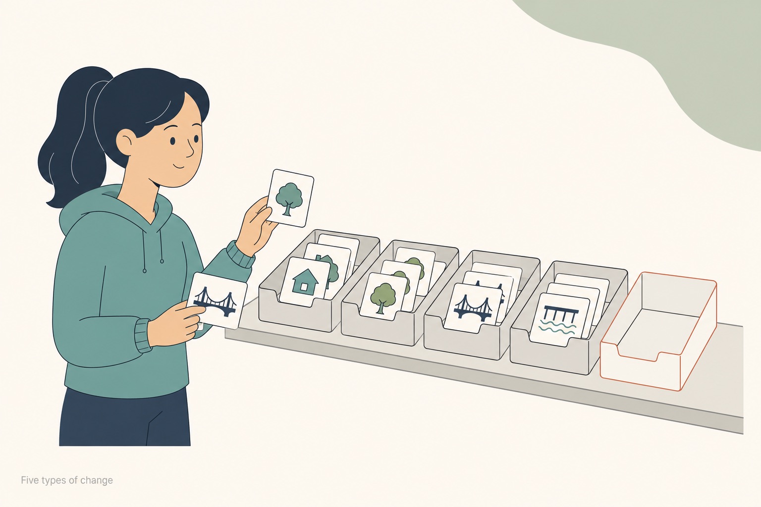
Five things can happen to a feature between two maps. Sorting them first writes your paragraph structure for you.
With a chart, categorisation is usually obvious — the data arrive already grouped by year, country or category, and you group your paragraphs the same way. Maps hand you nothing. They give you two pictures and leave the grouping entirely to you, which is why weak map answers so often read as a walk around the page: north, then east, then the river, then the coast.
There are only five things that can happen to a feature between two maps:
The last two carry most of the marks in practice. Change of use is where candidates lose accuracy, because a pier that becomes a marina is both an expansion and a conversion, and describing only one half of that is an omission. And unchanged features are the ones almost everyone drops, even though "the requirements of the task" include reporting that something stayed put — a fixed reference point is often the most useful comparison on the map.
Sorting the eight rows in the table above into those five groups takes about a minute before you write, and it produces the paragraph structure for you: one paragraph for what was built, one for what was converted or removed, with unchanged features attached to whichever paragraph they sit next to. That is the whole method.
Band 8 Task Achievement asks that "the response covers all the requirements of the task appropriately, relevantly and sufficiently". Three edits close the gap, and none of them adds a new idea.
1. Fix the bridge. Change to the north of the original crossing to to the south of the original crossing. A single wrong compass word is exactly the kind of lapse the band 7 wording tolerates and the band 8 wording does not.
2. Cover the second unchanged feature. One clause does it: the town hall at the centre and the primary school on the east bank were both left untouched. That takes the answer from seven of eight features to eight of eight, at a cost of six words.
3. Extend one conversion instead of listing it. The pier is the most interesting change on the map and gets thirteen words. Something like the fishing pier was extended and converted into a marina, replacing the town's last working fishing infrastructure connects the change to the overview rather than restating it. This is the difference between features that are covered and features that are, in the band 8 wording, appropriately illustrated.
What these edits do not involve is more compass vocabulary or a longer answer. The word count barely moves.
Which tense should I use for a map question?
It depends on the maps, not on a rule. Two dated maps in the past take past tenses, usually passive; a map labelled proposed or planned takes future or modal forms. Which tense for IELTS Task 1? works through the decision.
Do I have to use compass directions?
No descriptor requires them. They are useful because they locate features precisely, and precision is what accuracy is judged on — but beside the river and opposite the town hall do the same job.
Do I need an overview in a map answer?
Yes. The band 7 wording asks for "a clear overview" of every Task 1 response, maps included, and on a map that means a direction of change rather than a list of features. Ten overview sentences scored works through what clears that line.
How long should the answer be, and how long should it take?
At least 150 words, in the 20 minutes IELTS recommends for Task 1. There is no published maximum.
Is there an official band 7 map sample I can compare against?
No. The examiner-commented sample responses IELTS publishes cover lower bands, and none of them is a map question. Any answer labelled "official band 7 map" — including this one, which is not — is an answer scored against the published descriptors by someone other than an examiner.
Official task instructions are on ielts.org.
Bandly grades your essay or letter against all four criteria and shows the gap to your target band, sentence by sentence.
A band 5.5 essay scored 5/6/5/6, plus the exact sentence holding each criterion down and the minimum fix that clears the band 6 line.
The same IELTS Task 2 essay at band 6 and band 7, with every edit tagged to the criterion it moved — and the averaging trap that keeps you at 6.5.